
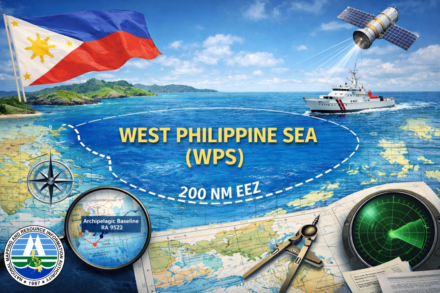

The National Mapping and Resource Information Authority (NAMRIA) clarified the role of official Philippine maps and nautical charts in depicting and safeguarding the country’s maritime jurisdiction in the West Philippine Sea, amid ongoing public discussion on the issue and growing public interest in how maritime boundaries are represented in official documents.
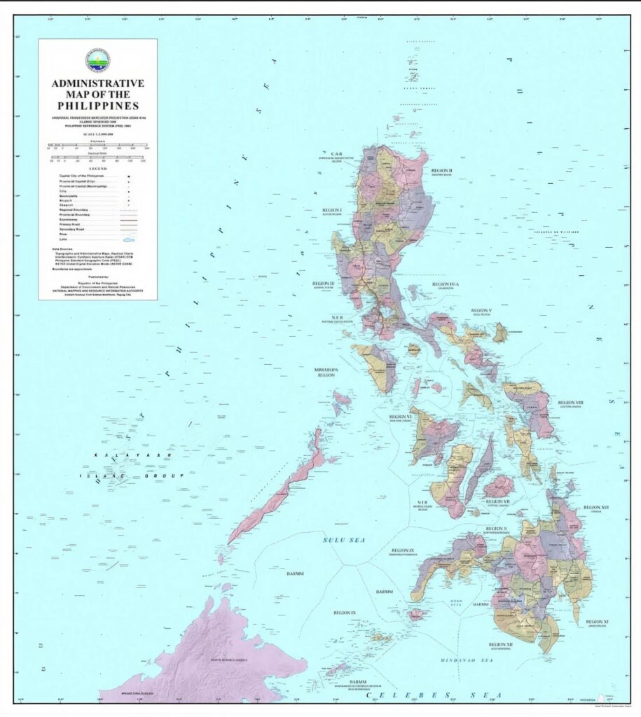
Since 2012, the Philippines has formally adopted the name “West Philippine Sea” in government publications. In line with this policy, NAMRIA consistently places the label across its official administrative, topographic, and thematic maps, as well as nautical charts used for navigation.
The agency said these materials serve practical and technical purposes, functioning as reference documents for mariners, planners, researchers, and institutions, both domestic and international. The maps and charts support navigation, geographic information management, and safety at sea, and are produced using standardized cartographic methods to ensure accuracy, consistency, and reliability across platforms.
On maritime boundaries, NAMRIA clarified how the country’s Exclusive Economic Zone (EEZ) is represented. Under international law, the EEZ extends up to 200 nautical miles from the country’s archipelagic baselines. This generates a continuous curved boundary, similar to the edge of a circle, rather than a polygon composed of straight lines.
Because of this, the agency said a short list of coordinates would not accurately describe the maritime limit. Instead, the boundary is represented through precise geospatial data derived from the archipelagic baselines defined in Republic Act No. 9522. This approach allows navigation systems and mapping software to determine the limit correctly and consistently, particularly in digital and satellite-based navigation systems widely used in modern maritime operations.
NAMRIA said its nautical charts comply with international hydrographic standards and are used by both Philippine and foreign vessels navigating waters under Philippine jurisdiction. The charts are also submitted to relevant international technical bodies, including the International Hydrographic Organization. Through these established technical processes, Philippine geographic information is integrated into the global maritime record, supporting safe navigation and responsible maritime activity.
The agency said adherence to international standards ensures interoperability with global mapping systems and promotes confidence among maritime stakeholders who rely on authoritative data in planning routes, conducting research, and managing maritime resources.
The agency emphasized that its mandate is to produce accurate and reliable geospatial information for the country. By maintaining scientifically correct maps and internationally compliant nautical charts, NAMRIA contributes to maritime safety, environmental management, disaster preparedness, and proper documentation of national territory.
The agency said it will continue to uphold this mandate in support of national sovereignty, maritime safety, disaster preparedness, and sound resource management, reaffirming its commitment to transparency, technical integrity, and the consistent application of national policy in all official cartographic outputs.
Stay updated—follow Philippines Today on Facebook and Instagram, and subscribe on YouTube for more stories.